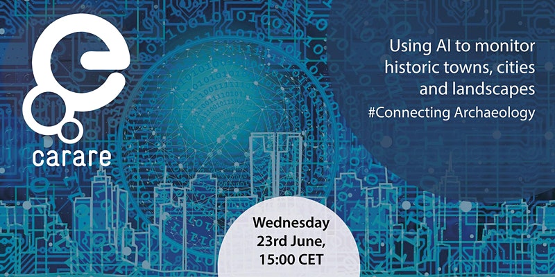
 This webinar explores some of the ways that artificial intelligence is being used with aerial and satellite imagery to monitor landscapes.
Three speakers will give short presentations after which there will be time for questions and discussion.
“AI and satellite images to monitor historical (features of) landscapes”, Henk Alkemade
As satellites pass over Europe frequently, these satellite data are very useful for monitoring purposes. However, the amount of data concerned is enormous, so country-wide analysis and interpretation cannot be done by humans alone. This is where AI can help. AI can be trained to automatically recognize relevant changes in the satellite data of different wavelengths. Henk will discuss some examples of current work on this subject in the Netherlands.
“3D and AI technologies for the development of automated monitoring of urban cultural heritage”, Tadas Žižiūnas, Faculty of Communication of Vilnius University
New technological solutions for the effective, objective and cost-sensitive monitoring of cultural heritage are needed. Tadas will present a new methodological approach based on laser scanning, 3D photogrammetry, artificial intelligence and GIS interaction. The main goal is to develop software that can detect and compare architectural and urban elements using 2D and 3D data of objects and places at different times. Tadas will cover methodological and technical issues and discuss the potential for a breakthrough technological tool for governments to track the status of heritage and act in a timely and proactive manner.
” Monitoring of Immovable Cultural Heritage using 3D and Artificial Intelligence Technologies”, Rimvydas Laužikas, Faculty of Communication of Vilnius University
Preservation of the immovable cultural heritage is an important challenge for contemporary society. Organizations responsible for heritage management often lack the resources, which are crucial for proper heritage preservation, maintenance and protection. Automated heritage monitoring, based on the 3D and AI technologies, is a possible solution to these problems. Rimvydas will describe a solution realized by the Vilnius University project ‘Automated monitoring of urban heritage implementing 3D technologies”.
Registrations on Eventbrite >>>
Speakers’ biographies
Henk Alkemade, lead/enterprise architect at the Netherlands Cultural Heritage Agency (RCE). Trained as a physical geographer, Henk worked in IT in commercial and government organisations, for over 20 years. In 2007 Henk joined the RCE as head of the e-knowledge department. Since 2016 he has worked both as an IT/Business Architect and Cultural Heritage specialist at RCE. His main interest is where CH meets IT. Connecting data, storytelling, 3D, VR, AI.
Dr. Tadas Žižiūnas, Faculty of Communication of Vilnius University. Tadas is working in digital cultural heritage, researching and implementing technologies such as augmented reality, 3D scanning, photogrammetry and AI-based solutions.
Rimvydas Laužikas, Professor of Digital Social Science and Humanities in the Faculty of Communication of Vilnius University. Rimvydas’s research interests cover use of computers in the Heritage sector; Information and communication of cultural heritage; Medieval and Early Modern archaeology. He is one of the leading scientists in Lithuanian projects on uses of 3D and AI technologies for automated heritage monitoring.





 If you have interesting news and events to point out in the field of digital cultural heritage, we are waiting for your contribution.
